|
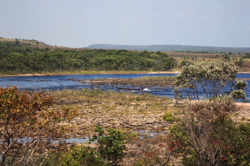 |
| Our canoe is crossing a part of the Rápidos de Mayupa | |
| Latitude: N 6°12'39,56" | Longitude: W 62°47'31,16" | Altitude: 440 metres | Location: Mayupa | State/Province: Estado Bolívar | Country: Venezuela | Copyright: Ron Harkink | See map | |
| Total images: 70 | Help | |